Greenway Trust Priority Area:
Map Categories:

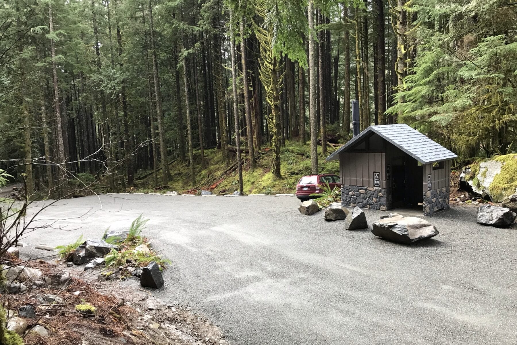
This trailhead provides access to the Snoqualmie Lake Trail, the Nordrum Lake Trail, the Marten Lake Trail, and the Alpine Lakes Wilderness. The Mountains to Sound Greenway Trust and the US Forest Service partnered to expand the parking area, add a restroom facility, and install new signage. Completion of these long planned improvements occurred...

Greenway Trust Priority Area:
Map Categories:

Mt Baker-Snoqualmie National Forest, King County

This trailhead provides access to the 7.5 mile roundtrip hike to the alpine Annette Lake, and also to the Asahel Creek Nature Trail through an old growth forest.

Greenway Trust Priority Area:
Map Categories:

Mt Baker-Snoqualmie National Forest, King County

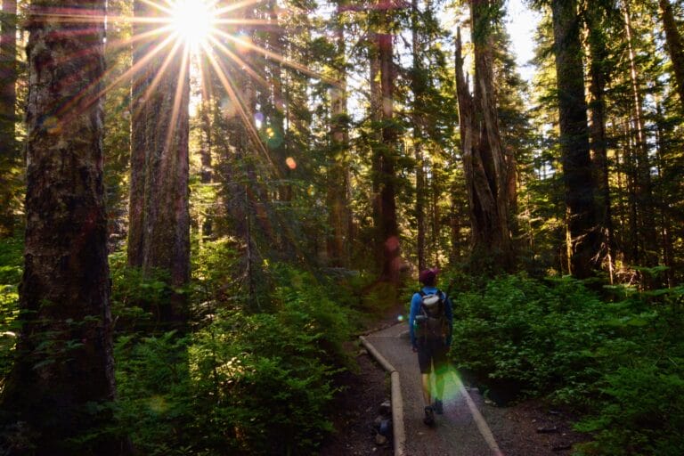
Denny Creek runs on the west side of Snoqualmie Pass and its trail, through old growth forest to waterfalls and waterslides, is one of the most popular access points to the Alpine Lakes Wilderness. Visitors approaching the trailhead will see a series of rustic cabins, built with the advent of the Sunset Highway in...

Greenway Trust Priority Area:
Map Categories:

Mt Baker-Snoqualmie National Forest, King County

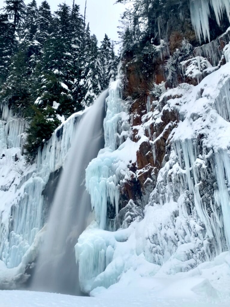
This trailhead near the Denny Creek Campground provides access to the Franklin Falls and Wagon Road Trails, which can be combined into a two mile loop.

Greenway Trust Priority Area:
Map Categories:

Okanogan-Wenatchee National Forest, Snoqualmie Pass

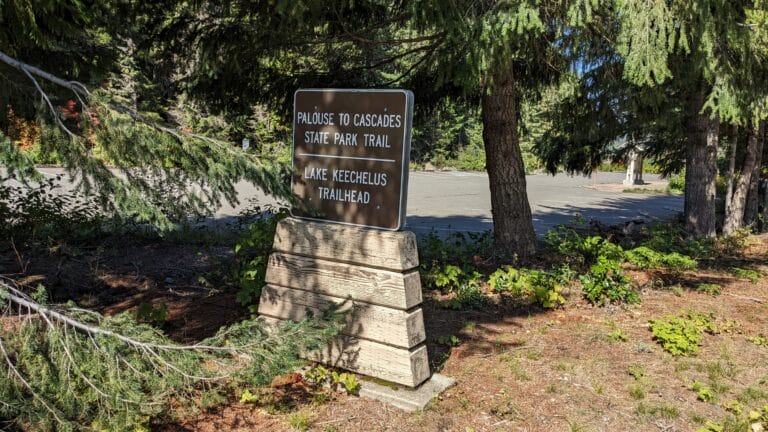
The Lake Keechelus Trailhead, near Snoqualmie Pass, provides access to the Palouse to Cascades State Park Trail for cycling, hiking, and snowshoeing.

Greenway Trust Priority Area:
Map Categories:

Mt Baker-Snoqualmie National Forest, King County

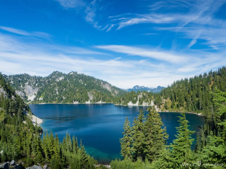
Its relatively short length and low elevation gain to an alpine lake make the Snow Lake Trail one of the busiest trails in the Alpine Lakes Wilderness. To avoid crowds, start early and avoid warm sunny weekends.

Greenway Trust Priority Area:
Map Categories:
, , ,

Once part of a prairie tended by the Snoqualmie People, today Meadowbrook Farm Park includes farmland, wildlife habitat, trails, and interpretive facilities.  The open space of Meadowbrook Farm and the nearby Tollgate Farm was originally an expansive prairie tended by the Snoqualmie people, who used fire to maintain open non-forest habitat. Periodic burns encouraged...

Greenway Trust Priority Area:
Map Categories:

The 1.8-mile Oxbow Loop Trail, with only 60 feet of elevation gain, provides low-intensity recreation access in a scenic and special location in the Middle Fork Snoqualmie River Valley just 40 minutes from Seattle. Enjoy commanding views of the sweeping river meander and nearby summits of the Alpine Lakes Wilderness. The trail travels under...

Greenway Trust Priority Area:
Map Categories:

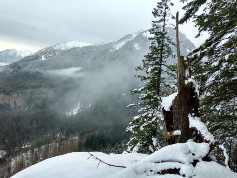
The Garfield Ledges Trail ascends 830 feet in 1.1 miles to a stunning cliff-top viewpoint with an expansive vista down valley to the southwest. The Taylor River and Middle Fork of the Snoqualmie River converge far below, Stegosaurus Butte rises abruptly just across the valley, and Preacher Mountain stands majestically beyond. Far in the...

Greenway Trust Priority Area:
Map Categories:

Teanaway Community Forest, Kittitas County

The West Fork Teanaway River Trail lies within the Teanaway Community Forest, and connects with the Yellow Hill Trail #1222 and the Jolly Mountain Trail #1353. The US Forest Service maintains the trail and visitors should follow Forest Service rules.