Garfield Ledges Trailhead
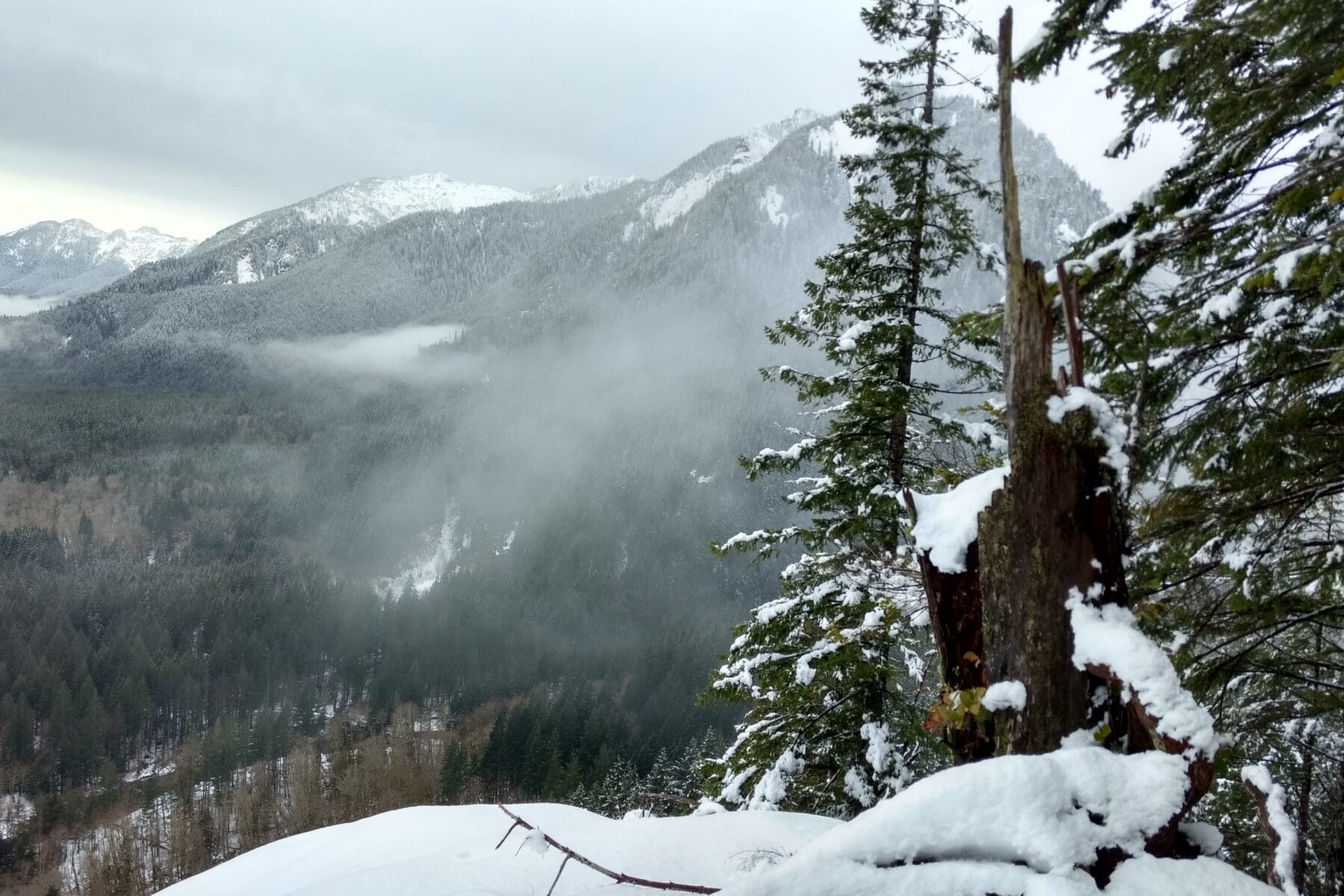
The Garfield Ledges Trail ascends 830 feet in 1.1 miles to a stunning cliff-top viewpoint with an expansive vista down valley to the southwest. The Taylor River and Middle Fork of the Snoqualmie River converge far below, Stegosaurus Butte rises abruptly just across the valley, and Preacher Mountain stands majestically beyond. Far in the distance, you can also see Grouse Ridge and Rattlesnake Ledge.
The Mountains to Sound Greenway Trust coordinated and supervised the trail’s construction including participation by Greenway Trust trail crews, USFS staff and trail crews, volunteers, Northwest Trails, Inc., and McClung Construction Company, with support and contributions from many others. Work on the trail was completed on National Public Lands Day in September 2019.
- Pass or Permit Required:
- Northwest Forest Pass | Learn More
- More Information:
- Website
- Location:
- North Bend, WA | Google Maps