Mt Baker-Snoqualmie National Forest, King County
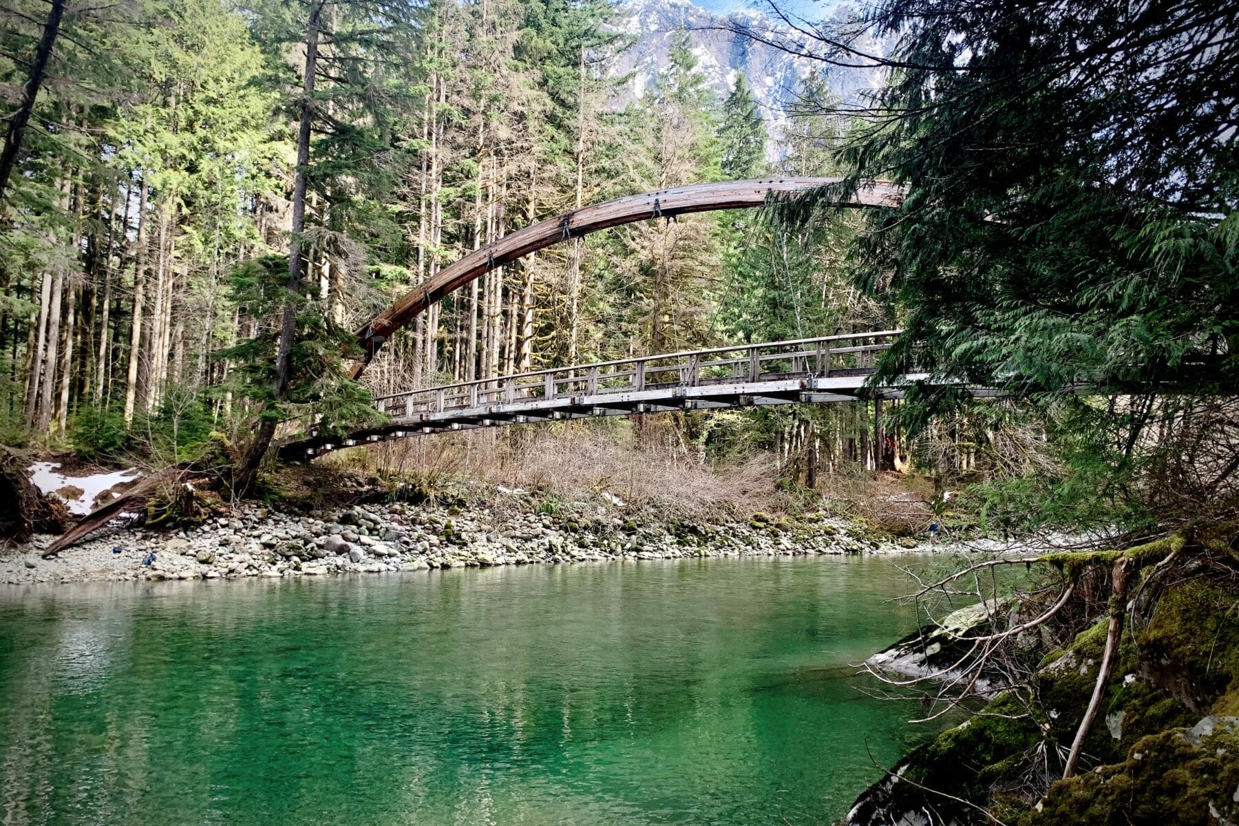
This trailhead provides access to two great year round hikes – the Middle Fork Trail and the Pratt River Trail. From the parking lot, cross over the landmark Gateway Bridge to access these upstream or downstream trails. They provide pleasant low elevation (and easy on the knees) hikes along the river. In 2019, the...Trails


Mt Baker-Snoqualmie National Forest, King County
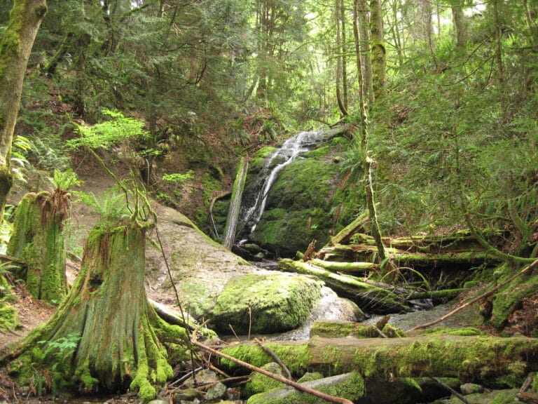
This day-use picnic area, set in a remnant stand of old growth forest along the South Fork of the Snoqualmie River, has 10 picnic sites including four along the river. The short, easy nature trail traverses an old growth forest that includes mature Douglas fir, western hemlock and western red cedar trees. See mosses,...
DNR Trust Lands Sth Puget Sound Region, Snoqualmie
This trailhead at Snoqualmie Point provides access to the Rattlesnake Mountain Trail which offers spectacular views of the Snoqualmie Valley, Mount Si and more. Hikers have options for out-and-back jaunts to a couple different viewpoints or, if transportation can be arranged, a through hike to Rattlesnake Lake.
21430 S.E. May Valley Rd,
Over 2,000 acres of forest on the south edge of Issaquah offer hiking, equestrian trails, and excellent wildlife habitat.
Tradition Plateau, Issaquah
This extremely popular trailhead just off Interstate 90 provides direct or indirect access to several trails in the West Tiger Natural Resources Conservation Area and Tiger Mountain State Forest.