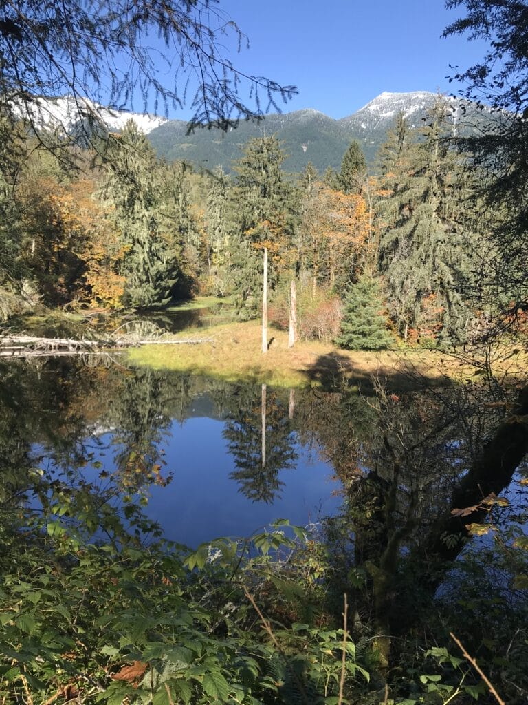
Mercer Slough Nature Park

Greenway Trust Priority Area:
Map Categories:
, , ,

Tucked into the southern end of Bellevue, this park includes 320 acres of wetlands and meadows with five miles of trails for nature walks, canoe trips, and bird watching. A partnership between the Pacific Science Center and City of Bellevue Parks Department, the Mercer Slough Environmental Education Center provides year-round education and hands-on learning...

Greenway Trust Priority Area:
Map Categories:

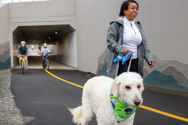
The Mountains to Sound Greenway Trail, also known as the I-90 Trail, will eventually connect Seattle, Mercer Island, Bellevue, Issaquah, Preston and Snoqualmie for pedestrians and cyclists. A fully-paved trail separate from motor vehicles currently stretches from Seattle, across Mercer Island, to the Factoria area of Bellevue.

Greenway Trust Priority Area:
Map Categories:

Mt Baker-Snoqualmie National Forest, King County

Its relatively short length and low elevation gain to an alpine lake make the Snow Lake Trail one of the busiest trails in the Alpine Lakes Wilderness. To avoid crowds, start early and avoid warm sunny weekends.

Greenway Trust Priority Area:
Map Categories:

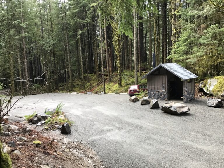
This trailhead provides access to the Snoqualmie Lake Trail, the Nordrum Lake Trail, the Marten Lake Trail, and the Alpine Lakes Wilderness. The Mountains to Sound Greenway Trust and the US Forest Service partnered to expand the parking area, add a restroom facility, and install new signage. Completion of these long planned improvements occurred...

Greenway Trust Priority Area:
Map Categories:
,

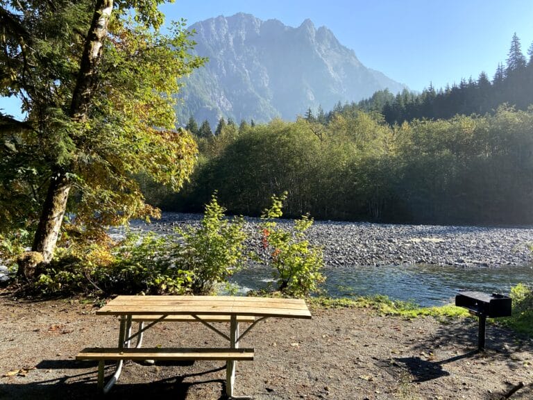
Camp Brown Day Use Area offers a family-friendly and accessible place to experience the scenic Middle Fork Snoqualmie Valley. Located approximately eleven miles down the Middle Fork Road, this gently meandering half-mile loop trail, built following Americans with Disabilities Act (ADA) standards, provides scenic views of the congressionally-designated Wild and Scenic Middle Fork Snoqualmie...

Greenway Trust Priority Area:
Map Categories:

The Garfield Ledges Trail ascends 830 feet in 1.1 miles to a stunning cliff-top viewpoint with an expansive vista down valley to the southwest. The Taylor River and Middle Fork of the Snoqualmie River converge far below, Stegosaurus Butte rises abruptly just across the valley, and Preacher Mountain stands majestically beyond. Far in the...

Greenway Trust Priority Area:
Map Categories:

The 1.8-mile Oxbow Loop Trail, with only 60 feet of elevation gain, provides low-intensity recreation access in a scenic and special location in the Middle Fork Snoqualmie River Valley just 40 minutes from Seattle. Enjoy commanding views of the sweeping river meander and nearby summits of the Alpine Lakes Wilderness. The trail travels under...