Snow-Free Hikes To Explore in the Mountains to Sound Greenway
As winter unfolds across the 1.5-million-acre expanse of the Mountains to Sound Greenway National Heritage Area (Greenway NHA), a fascinating array of weather patterns emerges and impacts where we can go for relatively snow-free hikes. Stretching from Seattle to Ellensburg, this region showcases varying winter conditions, primarily influenced by changes in elevation. Here’s what you need to know to be prepared before you head out.
Understanding Mountain Weather
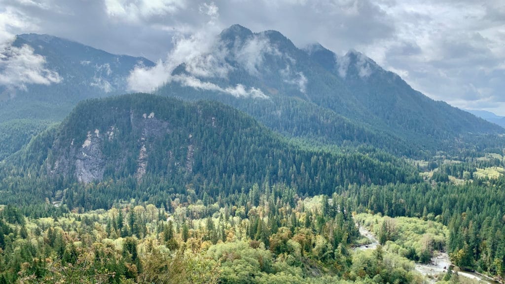
At lower elevations near Puget Sound, temperatures tend to be milder, often with less snow and more rain. However, ascending to higher elevations presents a different scenario, with the Cascade Mountains significantly impacting weather changes. Higher altitudes bring colder temperatures and increased snowfall. This occurs due to orographic lift: as moisture-laden air encounters the Cascades, it rises, cools, and releases moisture. This creates heavier precipitation on the western slopes and drier conditions on the eastern slopes.
Tips on How To Find Safe Hikes
Understanding these elevation-based weather variations is essential for winter explorers in the Greenway NHA. To start, you need to pay attention to meteorologists’ snow level reports. These reports give the elevation at which precipitation will likely turn into snow. Trails at lower elevations can offer snow-free paths throughout most of the year. On the flip side, higher elevations transform into a winter wonderland, ideal for snowshoeing and other winter adventures. Once you identify an area you’d like to explore, check the National Weather Service’s mountains forecast. If they are reporting snow in the area you want to go, find another hike with a lower elevation!
Snow-Free Hikes Throughout the Greenway
If you’d like a quick and easy guide to get out without special gear, use this itinerary to explore lower-elevation hikes around the Greenway NHA this winter! Even though you should find these trails snow-free or with minimal snow (barring major winter storm events!), we suggest a few things before you go. Always carry the 10 essentials, check the forecast, and read recent trip reports to know what to expect before heading out.
Itinerary
-
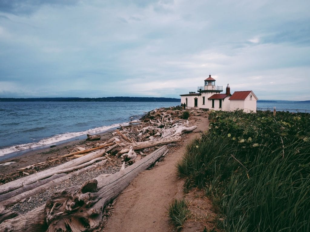
Discovery Park Loop
Seattle
2.8 miles roundtrip / 140 ft gainDiscovery Park provides an oasis for nature lovers without even leaving the city! The Discovery Park Loop Trail passes through forest and open meadows, offers expansive views across Puget Sound, and can be enjoyed by hikers and bird watchers year-round. Many of the areas of the park have been degraded by non-native plant species and lack the diverse habitat needed to provide a balanced ecosystem. The Greenway Trust has been engaged in a multi-year effort to enhance the species diversity, forest structure, and function of the area through various restoration projects.

West Point Lighthouse at Discovery Park. Photo: Paul Matheson -
Schmitz Preserve Park
Seattle
1.7 miles roundtrip / 220 ft gainThis 53.1-acre park in West Seattle boasts a huge amount of old growth trees and 1.7 miles of hiking trails. The trails lead generally upstream along Schmitz Preserve Creek and its small tributaries, with some routes reaching higher points on the southern, eastern, or western park boundaries. If you like to explore, you can simply meander the trails, or for a more structured hike, follow the suggestions here. (Trail description from WTA.org)

Schmitz Preserve Park; Courtesy of Seattle Parks & Recreation -
Saint Edward State Park
Seattle
3 miles roundtrip / 400 ft gainStart your hike 400 feet above Lake Washington and head down to the undeveloped, peaceful shoreline under a dense canopy of native trees at this historic 316-acre state park. There are many routes you can take (click here for a trails map). The Perimeter / Seminary trailhead provides the most direct hike to the lake shore, while the North Trail will give you a longer experience. (Trail description from WTA.org)

-
Mercer Slough Nature Park Trails
Bellevue
6 miles totalThe 320-acre Mercer Slough Nature Park offers a tranquil setting for a variety of recreational experiences, including three main walking trails: the 0.8 mile Bellefields Loop Trail, the 1.1 mile Heritage Loop Trail, and the 4-mile Periphery Trail. The Mercer Slough is Lake Washington’s largest remaining wetland, providing a diverse habitat for over 170 species of wildlife. Interconnected boardwalks, soft surface trails, and asphalt paths transport visitors through this unique urban wetland. You can find a trail map here. Keep this one on your list for gorgeous kayaking in the summer, too!

Mercer Slough Nature Park. Photo: Merrill Images -
Squak Mountain State Park
Issaquah
6.6 miles / 1,684 ft gainSquak Mountain State Park has an extensive 13-mile network of winding trails to explore in this quiet sanctuary just outside of Issaquah. The most direct route to the summit is to follow the signage for the Central Peak trail, a 3.3-mile distance. There are many side trails that can be taken to add loops and additional viewpoints if you’re looking for a longer adventure.

Debbie’s View, Squak Mountain State Park -
Tiger Mountain's Tradition Plateau
Issaquah
VariesTiger Mountain’s Tradition Plateau offers several options for a low elevation loop hike centered around Tradition Lake. One of the most popular routes for people looking for snow-free hikes is described here.

-
Snoqualmie Valley Trail
Multiple start points in the Snoqualmie Valley
31.5 miles total (multiple access points allow you to do as short of a distance as you’d like!)The Snoqualmie Valley Trail (SVT) is King County’s longest, and perhaps most majestic, regional trail. This soft-surface greenway follows a historic railroad route through the lower and upper Snoqualmie River valleys to the Cascades and provides access to the rural towns of Duvall, Carnation, and Fall City, as well as Snoqualmie and North Bend. Highlights include Snoqualmie River Valley views, river natural areas, the historic 100-foot-high Tokul Trestle, nearby Snoqualmie Falls, and ever-changing views of Mt. Si along the upper valley portion of the trail. Click here for a trail map with more details about parking and stops to experience along the way.
Courtesy of King County -
Rattlesnake Ledge Trail
North Bend
4-mile roundtrip / 1,160 ft gainThe Rattlesnake Ledge Trail is a popular hike known for its rewarding views and accessibility. It ascends through a forested path to a prominent rocky outcrop offering panoramic vistas of the Middle Fork Snoqualmie River, surrounding peaks, and lush landscapes below. This snow-free hike is well-maintained and relatively straightforward, suitable for hikers of varying skill levels. In 2021, the Greenway Trust renovated two miles of this trail, reinforcing switchbacks and revegetating heavily impacted areas.
-
Cedar Butte
North Bend
3.5 miles roundtrip / 900 ft gainTake a short hike up a forested butte near Rattlesnake Lake to reach a beautiful summit with minimal company on the trail compared to other popular hikes in the area. The summit is forested, but there are views out toward the north looking up the Middle Fork of the Snoqualmie River, with Mount Si, Mount Teneriffe, Green Mountain, Russian Butte and Mailbox Peak all visible. (Trail description from WTA.org)

-
Oxbow Loop
North Bend
1.9 miles / 60 ft gainOxbow Loop Trail is a flat 1.9-mile hike that provides a family-friendly addition within the Middle Fork Snoqualmie River Valley. The trail winds through older forest stands, providing intermittent views of surrounding mountain peaks. In 2018 and 2019, the Greenway Trust and partners built the Oxbow Loop Trail to provide low-intensity access in this scenic area.
-
Camp Brown
North Bend
2.2 miles roundtrip / 830 ft gainApproximately 11 miles down the Middle Fork Road, this half-mile loop trail provides scenic views of the congressionally-designated Wild and Scenic Middle Fork Snoqualmie River. Visitors can stroll or roll along the ADA -accessible gravel-lined loop trail that is routed through lush forest! Nestled along the riverbank and trail are 11 picnic sites with charcoal grates for those who like to picnic. A short ramp and set of stairs also give visitors access to a gravel bar beside the river. In 2019, Greenway Trust and partners built the trail and outfitted it with a handful of interpretive signs within 15 months.
-
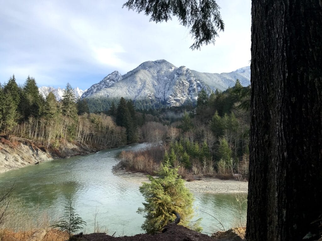
Middle Fork Snoqualmie Trailhead
North Bend
4-mile roundtrip / 1,160 ft gainThis trailhead provides access to two great year round hikes – the Middle Fork Trail and the Pratt River Trail. From the parking lot, cross over the landmark Gateway Bridge to access these upstream or downstream trails. They provide pleasant low elevation (and easy on the knees) hikes along the river. After a mudslide closed down this trail, the Greenway Trust and partners created a new trail and bridge in 2021 to reopen this beloved hike.
The Gateway Bridge at the Middle Fork Trail. Photo by Merrill Images -
Garfield Ledges
North Bend
2.2 miles roundtrip / 830 ft gainFound at the end of the Middle Fork road, this short but steep trail reaches a scenic viewpoint in just over a mile. With a high point at 1,860 feet above sea level, the trail is usable year-round, providing the Middle Fork road is passable. The hike ascends from a large trailhead to a cliff-top viewpoint with an expansive vista down valley to the southwest, including views of Stegosaurus Butte, Preacher Mountain, Grouse Ridge, and Rattlesnake Ledge. It took three years for this privately-funded trail to be completed by the Greenway Trust and partners.


Support Trails in the Greenway NHA
Love getting out on trails like these? Make a donation to the Mountains to Sound Greenway Trust to help fund ongoing maintenance of popular recreation sites to keep trails safe, sustainable, and accessible.