A Scenic Drive Through the Snoqualmie Valley
The incredibly beautiful Snoqualmie Valley includes farmlands, historic downtowns, lush forests, and rugged mountains. This itinerary takes you on a journey from Main Streets to farms, from historic sites to scenic roads, and with an optional extension, to a deep forest and alpine mountains. Spend as little as an hour or two for a quick drive to catch the Valley’s flavor. Or plan as much as a whole day with stops, walks, treats, and meals along the way!
Itinerary
-
Downtown Duvall
Start your day in Downtown Duvall, a fun, arts-inspired town. Grab coffee or tea from one of the local coffee shops and enjoy a walk down Main Street, taking in the public art and local shops.
-
West Snoqualmie Valley Road
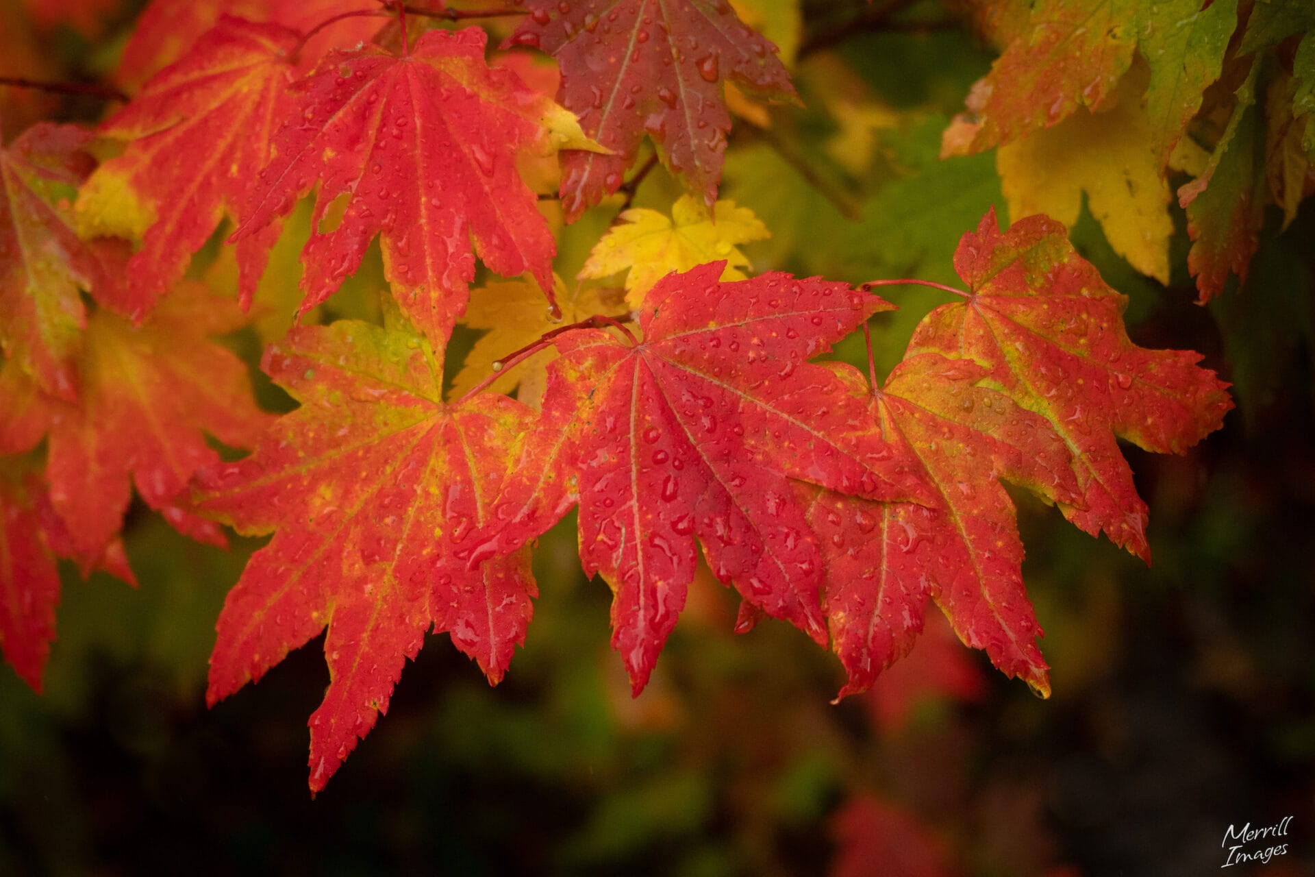
From Duvall, head west on the Woodinville-Duvall road. Drive over the Snoqualmie River and past farm fields, then take a left onto the West Snoqualmie Valley Road, a beautiful and historic corridor. Take in the gorgeous scenery as the road winds past farm fields and through a tunnel of trees. This drive is particularly beautiful in the fall when the bigleaf maple trees show off their golden leaves.
-
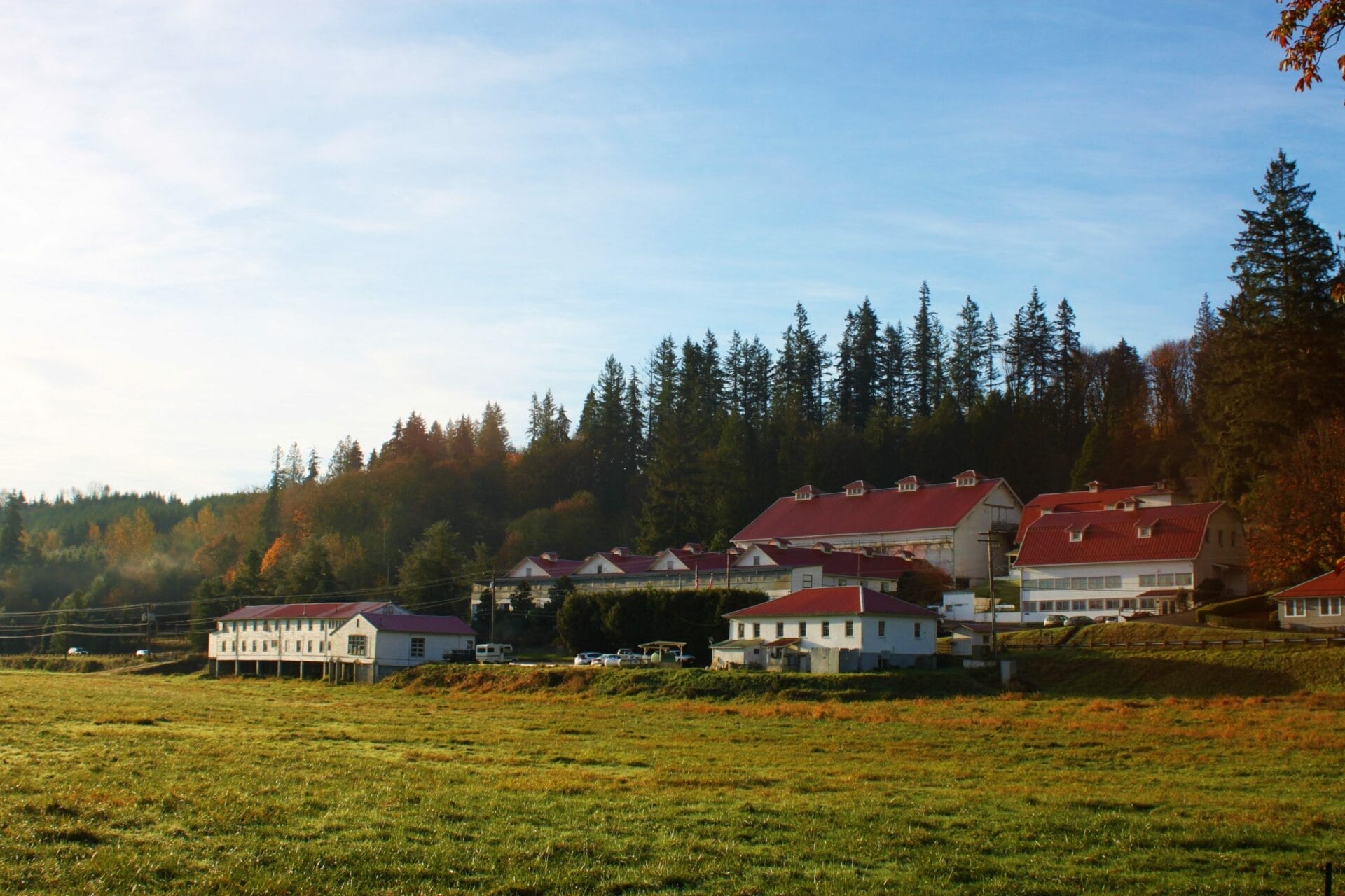
Carnation Farms
Continue south on West Snoqualmie Valley Road for about 6 miles then veer left onto NE 80th Street, followed by another left onto Ames Lake-Carnation Rd NE. This road will take you to Carnation Farm Road and through the historic Carnation Farms. Watch for the statue of their famous cow “Possum Sweetheart” on the right. You can read more about its international fame here. If you are visiting in the summer or fall, you can also check out their Farmstand stocked with Valley-grown produce.

-
Downtown Carnation
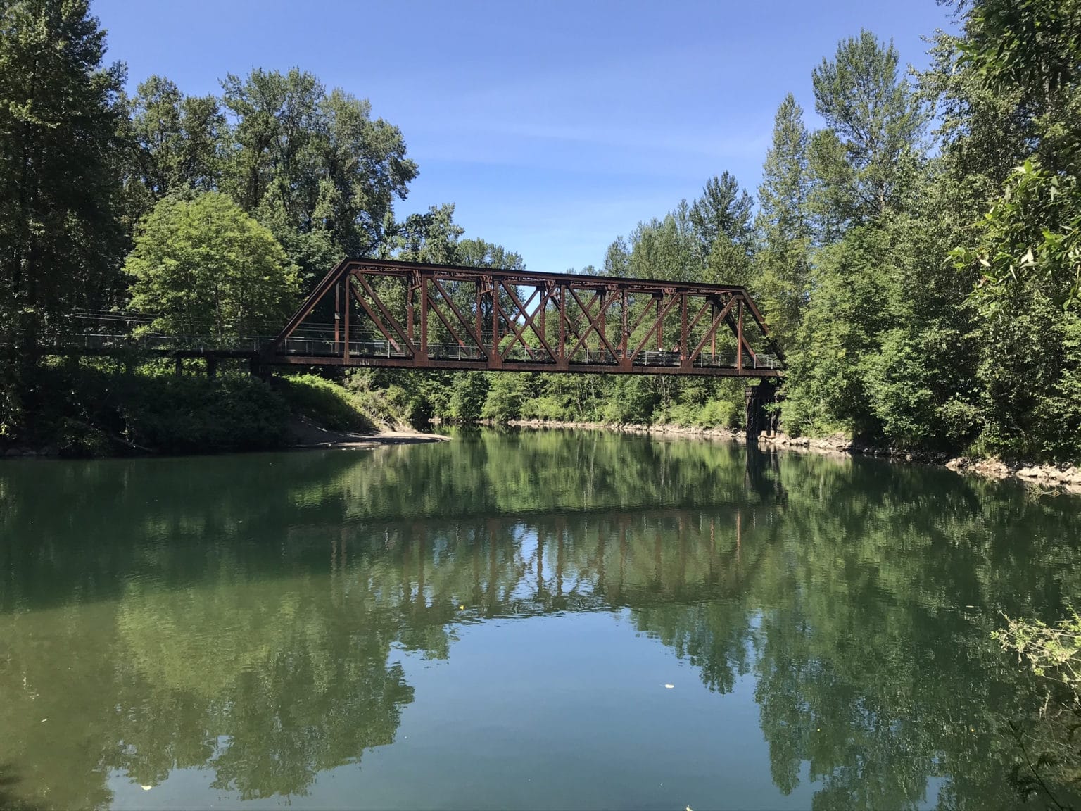
Continue on the Carnation Farm Road for two miles to Highway 203. Take a right and head into Downtown Carnation. Find a spot to park and take a break to enjoy this fun farm town. Stroll down main street and peruse the shops. Tolt Yarn and Wool is a particular favorite, and is known by knitters across the world. You can also take a little side trip into Tolt MacDonald Park. Just walk west on Entwistle Road and you will see a sign for a trail that leads into the park. This 574-acre park has lots of fun features, including the 500-foot suspension bridge that spans the Snoqualmie River.

-
Snoqualmie Falls
After your stroll head back to the roundabout and take the first exit to Highway 202 East. Enjoy peak-a-boo views of the Snoqualmie River on your right as you head upstream. After about 3.5 miles you will arrive at Snoqualmie Falls, famous for its stunning waterfall. Parking: the lot on the right side of Highway 202 requires a fee, while the larger lot on the left side of the Highway is free.
From time immemorial, the Snoqualmie Tribe has considered the Snoqualmie Falls sacred – its birthplace of creation. Mists from the thundering 268-foot waterfall carry prayers to ancestors, and the Falls provide the gifts of food, water, life, health, and healing. Today, the Snoqualmie Tribe warmly welcomes all visitors to this sacred place to experience its power in their own way.
-
Snoqualmie Landmark District
From the Falls, continue southeast on Highway 202 to quickly arrive at another roundabout. Take the first right on the roundabout to continue on Highway 202 East for about one mile into the Snoqualmie Landmark District. Along the way you will cross over the Snoqualmie River and pass a train car exhibit on the right. After parking in downtown Snoqualmie, consider a stroll to the train car exhibit, the Centennial Log Pavilion, and the Snoqualmie Depot that now houses the Northwest Railway Museum.
-
Reinig Bridge
Continue southeast on Highway 202 about ¾ mile and turn left at the first stoplight onto Meadowbrook Way. In about ½ mile you will cross over the river again and the road merges into SE Reinig Road. Just ahead on the right sits the scenic Reinig Bridge, originally part of the Milwaukee Road railroad and currently a portion of the Snoqualmie Valley Trail. Twin Peaks enthusiasts know it as “Ronette’s Bridge” – named for Ronette Pulaski – an integral character in the television series.

-
North Bend Landmark District
Just past this bridge, SE Reinig Road veers to the right. Notice here the sycamore trees lining both sides of the road – the Sycamore Corridor. In 1925, the Snoqualmie Falls Lumber Company planted one sycamore tree in front of each mill house in what was known as the Riverside Neighborhood of the mill town of Snoqualmie Falls. In the 1950s all the houses were moved to other places in the Valley, leaving the trees as the only remaining remnants of the lost town of Snoqualmie Falls.
Continue on SE Reinig Road which you may recognize from the Twin Peaks television series that used a view from the road for its iconic opening mountain shot.
After about 1¾ miles turn right at the “T” onto 428th Ave SE. Follow the flow of the road, which takes you onto NE 12th St and then onto Ballarat Ave NE and into the North Bend Landmark District. Consider our North Bend Historic Walking Tour or otherwise stroll a bit to stretch your legs and take in this lovely downtown. If you conclude the tour here, have a meal at one of the diverse dining options either here or back in nearby Snoqualmie while reflecting on your journey through the Valley.

-
Snoqualmie Pass
Some may wish to end their drive in North Bend and enjoy a nice meal in one of the many restaurants in North Bend or Snoqualmie. But if you are ready to drive further to experience a dramatically different landscape, take a stunningly scenic drive to Snoqualmie Pass, passing through deep forests and alpine open areas along the way. Grab a coffee, snack, and/or some lunch at any number of North Bend spots before heading out. Plan about one hour to drive this route to the Pass and return to North Bend, or longer if you stop along the way to enjoy a picnic or hike.
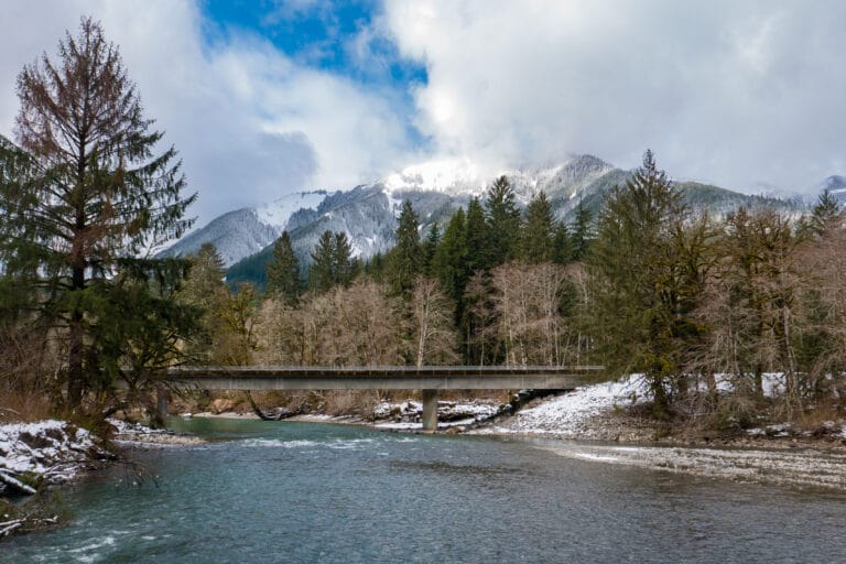
From downtown North Bend, head south on Bendigo Blvd to get to I-90. Head east on I-90 and enjoy the impressive mountains that surround you on all sides. Continue east for about 17 miles to Exit 47 (Denny Creek Asahel Curtis). In this area, you may consider a picnic and short hike at Asahel Curtis Picnic Area and Nature Trail, or hikes on any of several other trails in the area.
At the end of the exit ramp, turn left on NF-55. After you cross over I-90, turn right at the T onto NF-9034. Soon you will cross under the freeway and come to an intersection. Staying right takes you to the Asahel Curtis Picnic Area. Turn left on Denny Creek Road (NF-5800/NF-58) to continue towards Snoqualmie Pass.
The road climbs through a beautiful and dense forest, passing the Denny Creek Campground and a few trailheads along the way. In part it follows the old Sunset Highway, the original east-west automobile route across the Pass, completed in 1915. Learn more about the evolution of the road development and Pass crossing by Native Americans, wagon trains, early auto racers, and current vehicular traffic in this fascinating HistoryLink essay.
As you approach Snoqualmie Pass (elevation 3015 feet) a ramp to I-90 West will appear on the right for your return to the Seattle area.