
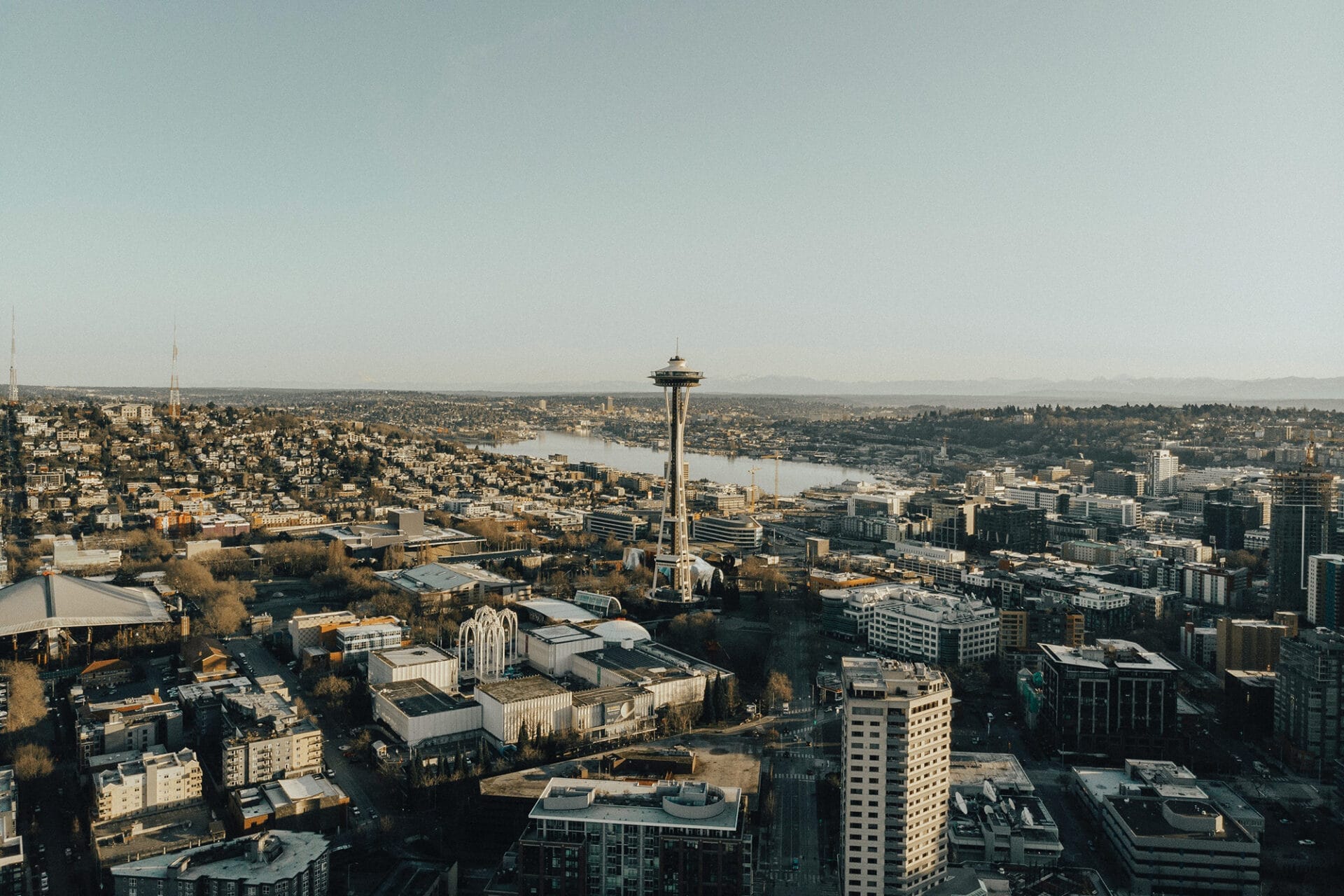
The Mountains to Sound Greenway National Heritage Area (Greenway NHA) is a diverse landscape stretching 100 miles from Seattle to Ellensburg along Interstate-90 (a National Scenic Byway) in Washington state. There are endless ways to explore this nationally-significant landscape, from discovering stories of our history and heritage; enjoying world-class recreational opportunities; visiting small towns and vibrant cities; and so much more.
Check out our interactive map and trip-planning resources below to spark ideas for your next adventure out in the Greenway NHA. Whether it’s your first visit or you’ve lived here your entire life, there’s always something new to learn and experience!
Plan Your Visit
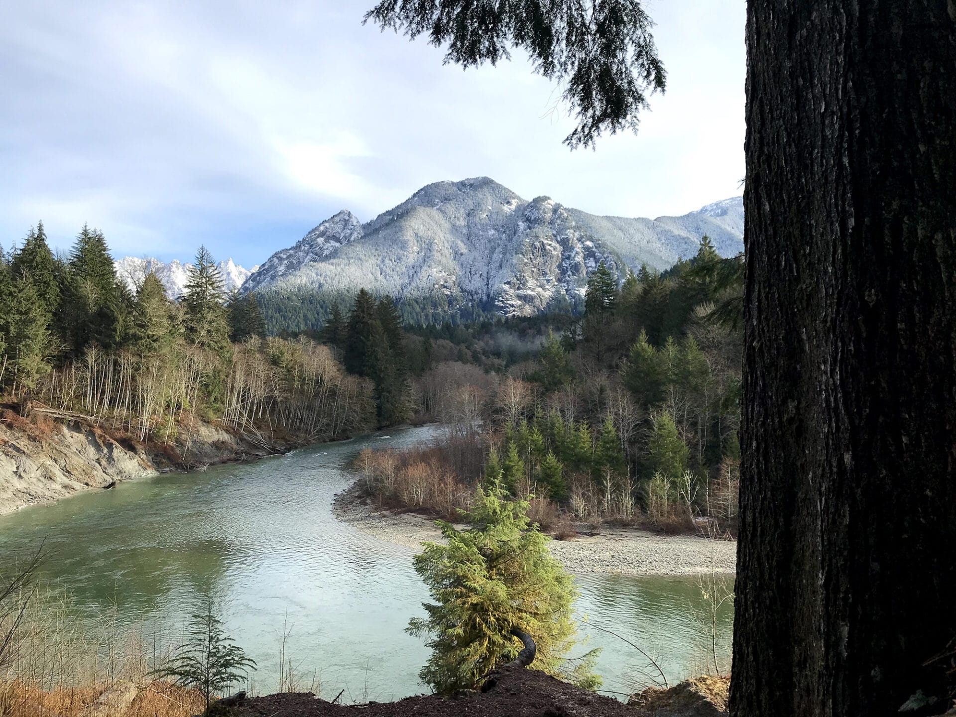
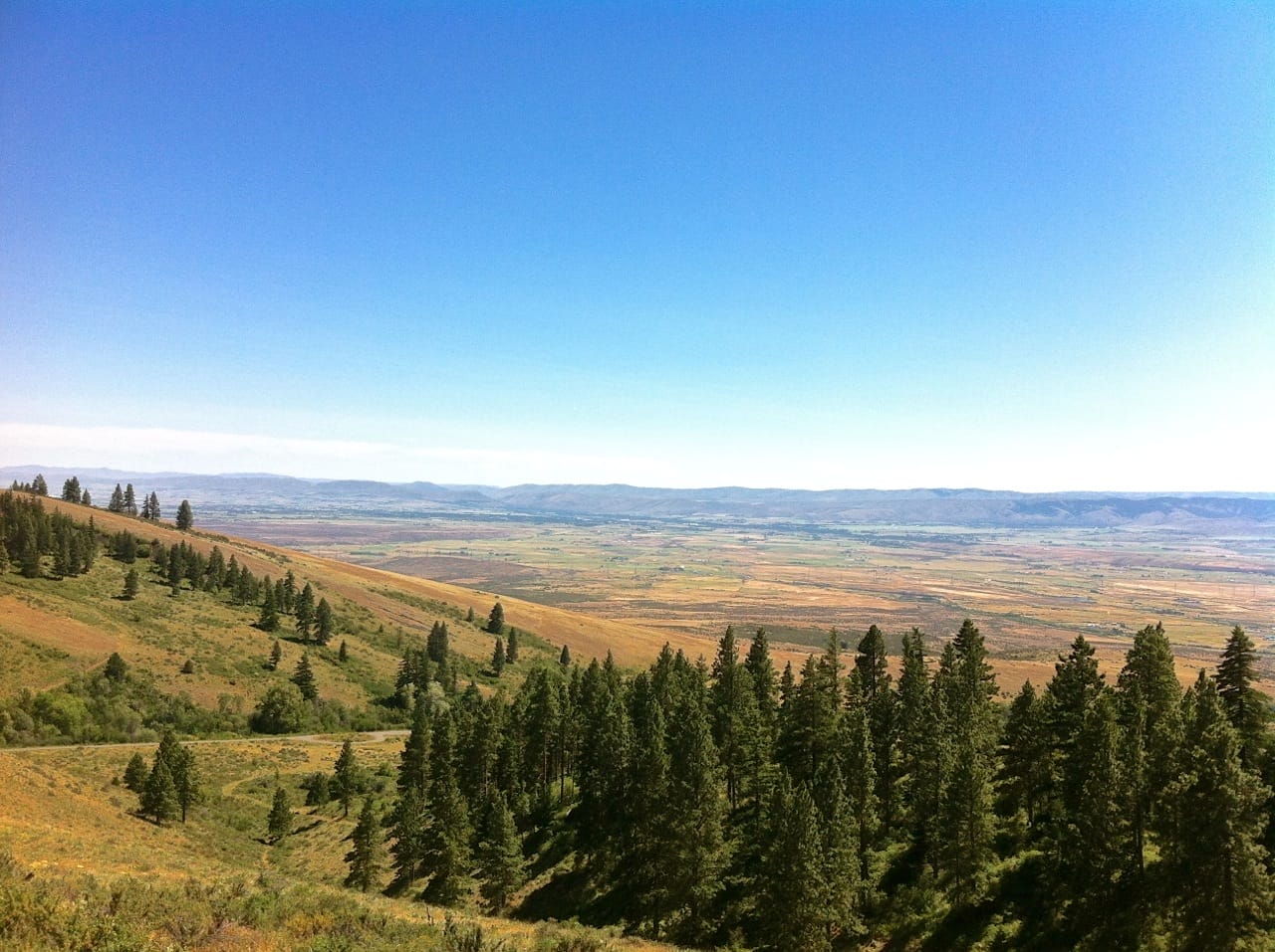
Looking for inspiration to help you get out in the Greenway NHA? Our tours and itineraries are a great place to start! Or you can dive right into one of our four distinct regions: Urban Communities, Snoqualmie River Valley, Middle Fork Snoqualmie Valley, and the Upper Yakima Basin.


Find Outdoor Activities
Use this page to find hikes near you, mountain biking and cycling trails, epic winter sports, and more in the Greenway NHA.
View Upcoming Events
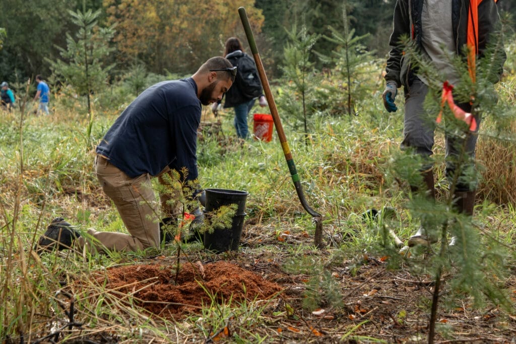
See our calendar of upcoming events, including volunteer opportunities, interpretive hikes, and more.

Plan Your Visit
Check out these resources for helpful tips to make your visit to the Greenway NHA safe and enjoyable.
Learn something new about the Greenway NHA
Whether it’s your first visit or you’ve lived here your entire life, there’s always something new to learn and
discover in the Greenway NHA. Dig deep and you’ll uncover layers of history, heritage, and culture that will foster
a richer understanding and connection to this treasured landscape.


