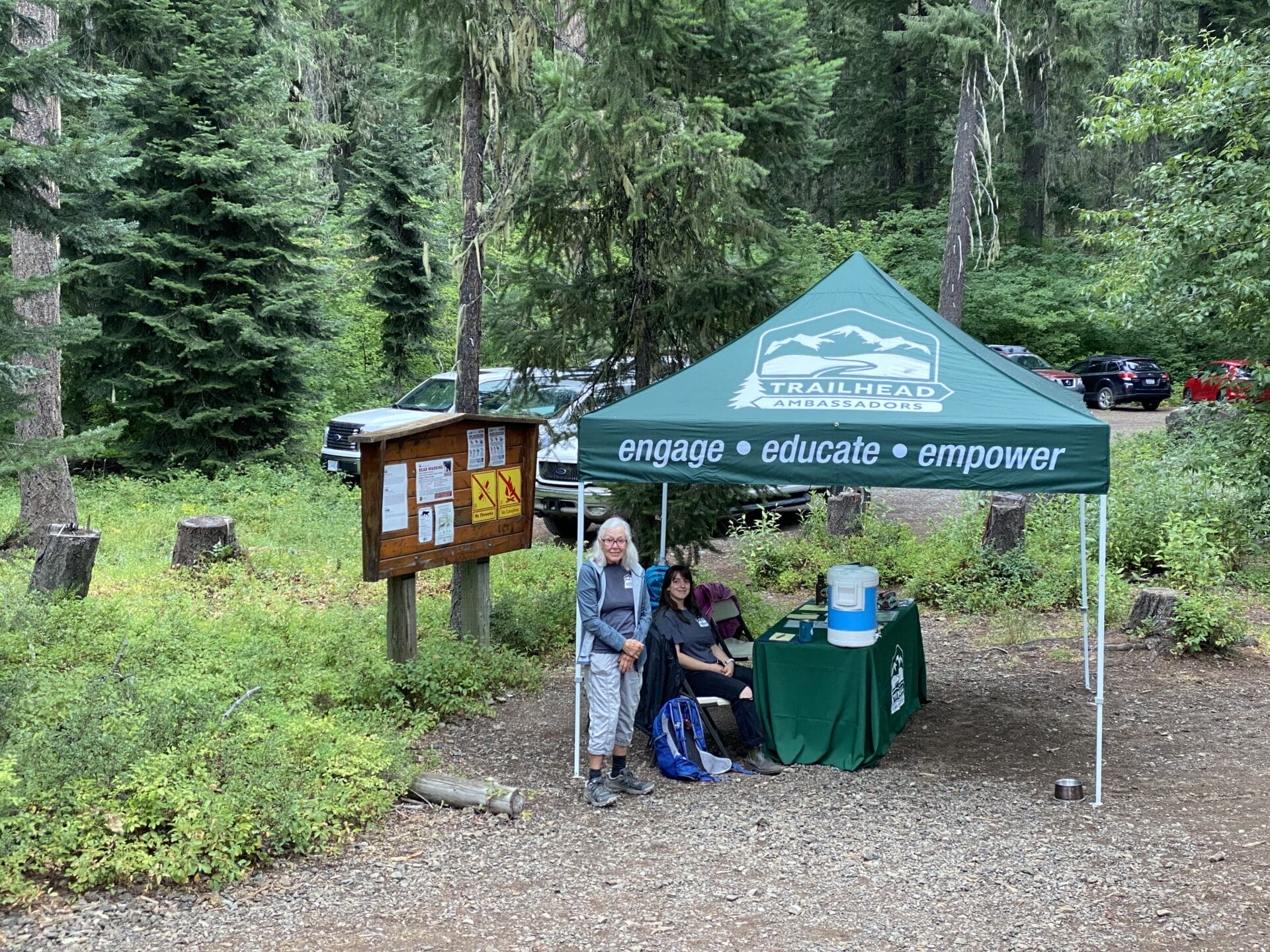
- Get Involved
- Events
- Events
- Trail Maintenance on Teneriffe Mountain
Trail Maintenance on Teneriffe Mountain

Join us to help care for our beloved Washington trails!
It you’re looking for a beautiful worksite without the weekend crowds, this event is for you!
Our work will include both trail and trailhead maintenance. We will focus our work on brushing back encroaching vegetation and maintaining drains and drainage structures along the trail to keep this trail in good shape.
For safety, volunteers are required to wear:
- Long pants (we’ll be working with tools, so no shorts!)
- Sturdy, close-toed shoes (absolutely no sandals)
- Gloves
In addition, we recommend that participants bring:
- Warm layers, especially during the fall, winter, and spring
- Rain gear
- Big sack lunch
- Water for the day (3 liters minimum)
- Small daypack for lunch, extra layers, etc.
From Seattle, take exit 32 from I-90 E for 436th Ave SE. Turn left on 436th Ave SE and go 0.6 miles, then turn left onto SE North Bend Way. In 0.3 miles, turn right onto Mt. Si Rd. In about 4 miles, the Mount Teneriffe Parking Lot will be on your left. Look for Greenway signs, staff, and vehicles.
Google maps: https://goo.gl/maps/ZseADkQQ6s52
(summer only): Avoid the crowds and use Trailhead Direct to arrive to the Mailbox Peak parking lot. More details here: https://www.kingcounty.gov/~/media/elected/executive/constantine/news/graphics/2019/MailboxPeak.ashx?la=en
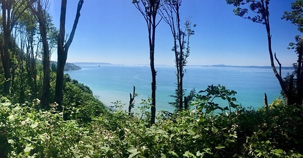
An increasingly popular route to Teneriffe (formally known as Kamikaze) Falls, near Mount Si, currently follows a narrow boot path that hugs the creek on its steep upward ascent. In order to avoid further erosion and creek damage, the Department of Natural Resources and the Mountains to Sound Greenway Trust have constructed a new trail to Teneriffe Falls that provides sweeping views of the surrounding valley, a challenging climb, frequent views of the creek, and access to the base of the falls. The new trail provides increased access and a more sustainable route for hikers.