- Get Involved
- Events
- Events
- National Trails Day Event at Middle Fork Trailhead
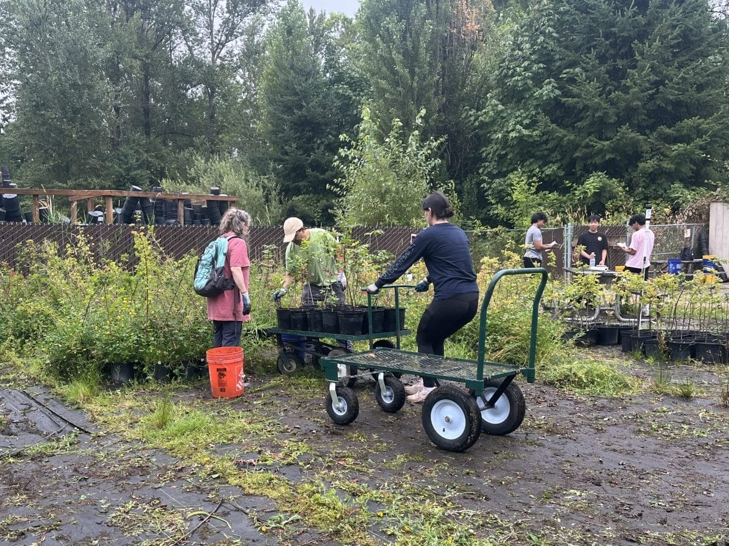
National Trails Day Event at Middle Fork Trailhead

For safety, volunteers are required to wear:
- Long pants (we’ll be working with tools, so no shorts!)
- Sturdy, close-toed shoes (absolutely no sandals)
- Gloves
In addition, we recommend that participants bring:
- Warm layers, especially during the fall, winter, and spring
- Rain gear
- Big sack lunch
- Water for the day (3 liters minimum)
- Small daypack for lunch, extra layers, etc.
Volunteers will meet and park at the Middle Fork trailhead: https://goo.gl/maps/VGyjGdSvq5o
There will be no cell reception at the Middle Fork Trailhead.
From Seattle, drive east on I-90 to exit 34 (Edgewick Road). Turn left (north) onto 468th Ave SE and follow it to the junction with the Middle Fork Snoqualmie Road (Forest Road 56). Turn right and continue up the Middle Fork Snoqualmie Road for 11.8 miles to the Middle Fork trailhead parking area on the right. Look for Greenway signs and staff.
NW Forest Pass required
The Middle Fork Snoqualmie River Valley is a treasure for anyone living in or visiting the greater Seattle area. A person seeking a day of adventure could leave downtown Seattle and, in less than an hour’s time, reach the gateway to pristine Cascades wilderness in the Middle Fork Valley. From there, that person could set out on any of dozens of trails leading to mountain peaks, hidden lakes, or old-growth forests. The Middle Fork Trail crosses an unusual arched beam cable-hung bridge, continues for miles through mature second-growth forests with remnant old-growth trees and snags, and provides access to the upper Middle Fork Valley and the Alpine Lakes Wilderness.
The Middle Fork Connector is links the Middle Fork Trailhead to the Middle Fork Campground, and then to the bridge over the Taylor River to connect to the Garfield Ledges Trail