- Get Involved
- Events
- Events
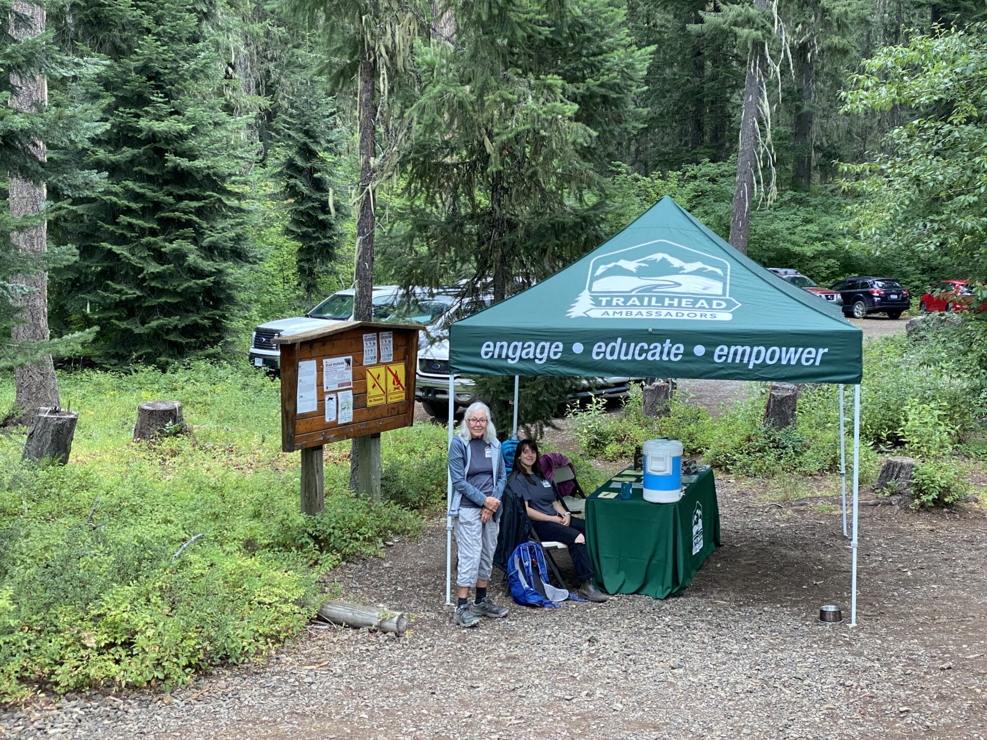
- National Trails Day 2025 – Middle Fork Campground
National Trails Day 2025 – Middle Fork Campground

Join us to celebrate National Trails Day! We will focus on picking up trash, removing encroaching blackberry, and cleaning up the large group picnic shelter. If time allows, we will also address tread and drainage issues on the nearby nature loop trail.
Volunteers will meet and park at the Middle Fork trailhead: https://goo.gl/maps/VGyjGdSvq5o From Seattle, drive east on I-90 to exit 34 (Edgewick Road). Turn left (north) onto 468th Ave SE and follow it to the junction with the Middle Fork Snoqualmie Road (Forest Road 5600). Turn right and continue up the Middle Fork Snoqualmie Road for 11.8 miles to the Middle Fork trailhead parking area on the right. Look for Greenway signs and staff.
Volunteers have been, and continue to be, a huge force behind stewarding this beautiful area. From Tanner Landing Park to the new Garfield Ledges Trailhead, volunteers have built trail, constructed rock walls, cleared corridors, removed invasive species, improved campgrounds, and so much more. We invite you to come out to the Middle Fork Trailhead this November to be a part of one of these projects! Thank you.
[47.553378, -121.538631]