Trail Plans Unveiled for Towns to Teanaway
The first round of draft plans for a new trail system on the eastern side of the Greenway have been unveiled—and are ready for public comment. Dubbed ‘Towns to Teanaway’, this community-driven effort will connect the towns of Ronald, Roslyn, and Cle Elum with the Teanaway Community Forest and provide easily accessible recreation for residents and visitors to the surrounding forests and mountains.
The idea for the Towns to Teanaway trail project began a few years ago, when Washington State Department of Natural Resources (DNR) acquired the 50,000 acres Teanaway Community Forest. The Teanaway Community Forest is a stunning landscape that attracts almost every kind of outdoor activity. Ponderosa forests, unique geologic formations, free-flowing rivers and wildflower meadows are home to iconic species like wolves, elk, deer, spotted owl, black bear, wolverine and cougars. Steelhead (listed under the Endangered Species Act), cutthroat, and salmon call its waters home.
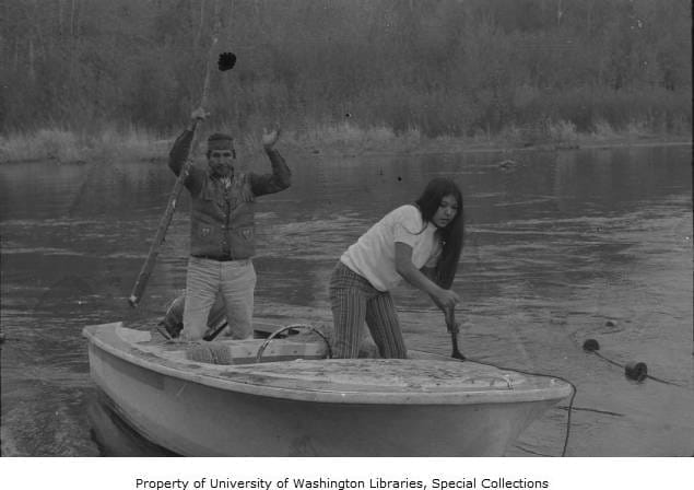
The forest is managed to protect and enhance water supplies, maintain forestry and grazing lands, provide recreation opportunities, conserve vital habitat, and support partnerships with the nearby communities of Cle Elum, Roslyn and Ronald. These towns began as logging and mining settlements, and the people who call them home proudly recall that heritage. As the area draws increasing recreational interest, the Towns to Teanaway Corridor project is an exciting opportunity to boost the economy and provide sustainable recreational opportunities.
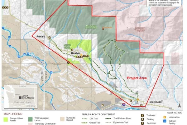 The Teanaway Community Forest is separated from the towns by 9,000 acres of Nature Conservancy land on Cle Elum Ridge. Like the Teanaway, these lands were once owned by a private logging company and managed for timber extraction. They were purchased in 2015 by The Nature Conservancy as part of their Great Western Checkerboard Project. All that separates the TNC lands from the communities is a narrow band of land owned by other private owners.
Hikers, bikers and other users have forged dozens of unofficial trails to the ridge over the years, signaling the need for trail construction. Even the acknowledged trails are in dire need of maintenance and signage.
With recreation plans coming together for both the Teanaway Community Forest and the Central Cascade Forest, a series of bigger questions emerged: How can we better manage local recreation? How can we tap into the popularity of the Teanaway for the benefit of our communities? How can we balance our uses of this landscape with wildlife corridors, watershed health, inherited user trails, and logging roads?
Thus the Towns to Teanaway Corridor project was born, thoughtfully connecting communities to these landscapes.
The project has brought together partners from across the county, including Kittitas County Parks and Recreation District (KCPRD), The Nature Conservancy, Mountains to Sound Greenway Trust, and local community members. Members spent most of 2017 looking into existing issues, compiling research on wildlife habitat and migration patterns, and assessing recreation trends. They raised $70,000 in grants and community donations to hire a landscape architect and invited local citizens to share their trail system wishlists during the first public meeting in August. While the architect worked on a masterplan and KCPRD drafted its first ever recreation plan, the Greenway Trust met with private land owners within the buffer zone to win willing consent for trail easements across their land.
 On February 27, the project leadership group called residents of Cle Elum, Roslyn and Ronald back together to unveil draft alternative trail systems:
- Alternative 1, the “Quiet Trail” concept, laid out a less-dense system of multiple use trails.
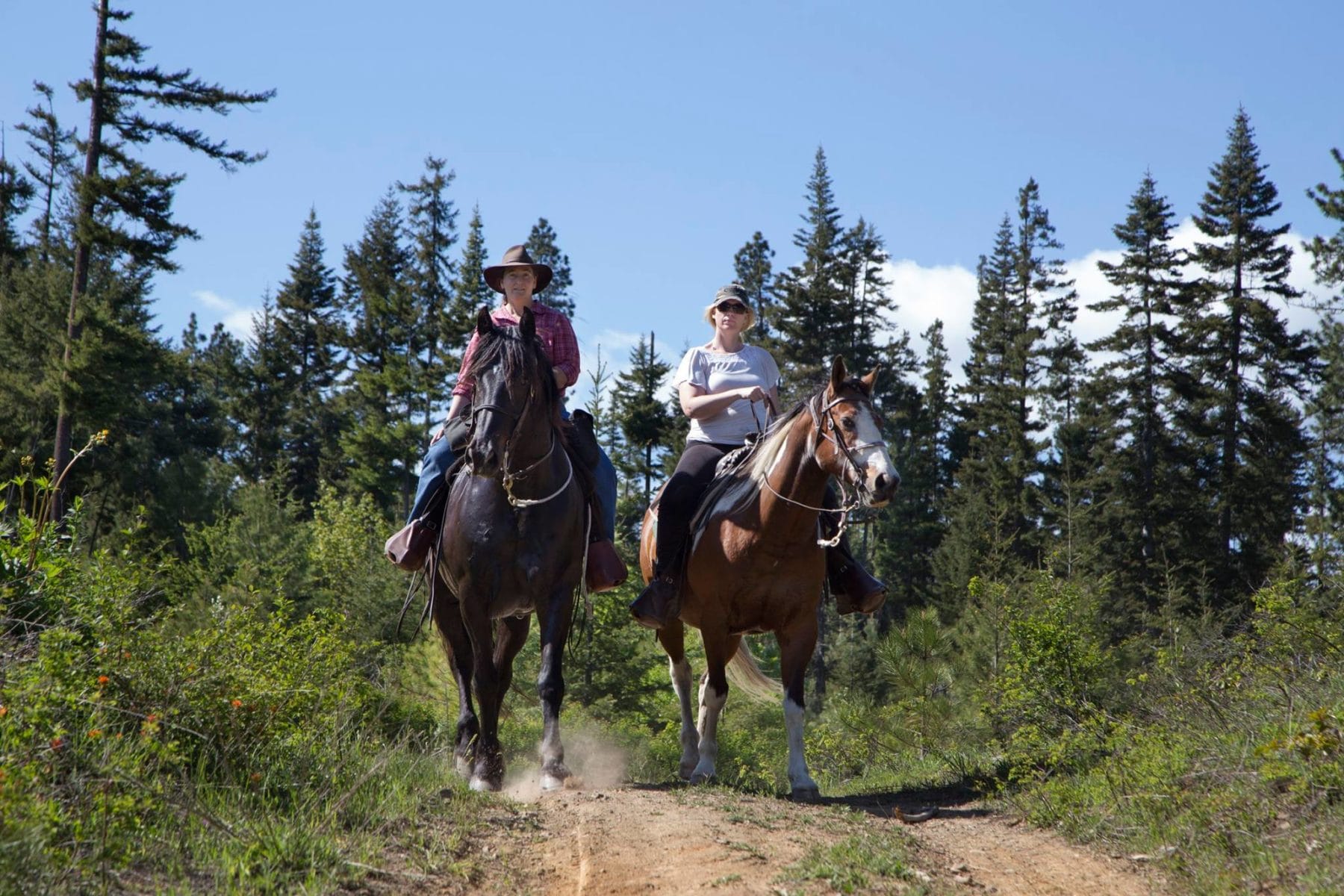
- Alternative 2, “Playful Loop,” proposed higher density with certain trails set aside for specific uses, like mountain biking or horseback riding.
Both concepts were designed for non-motorized use, in accordance with the wishes of the private landowner partners. Nearly 100 people attended the public meeting to learn about the development process, review the alternatives and provide their comments. Equestrians, bikers, hikers and local business owners crowded around tables to draw in new routes and write remarks on the maps.
Want to give input? Check out the plans online! Public comment is open through March 27, 2018.
