Grand Opening: Rattlesnake Mountain Trail and Trailhead
Rattlesnake Mountain Conservation
Rattlesnake Mountain is the long, forested ridge that parallels I-90 just south of Snoqualmie and North Bend. It runs 7 miles from State Route 18 to Rattlesnake Lake and the Cedar River Watershed.
In 1991, when the Mountains to Sound Greenway Trust set about conserving the farm and forest lands along I-90 for habitat, scenery and recreation, most of Rattlesnake Mountain was owned by some of the region’s largest timber companies. The Greenway Trust has worked since 1993 to encourage public purchase of this mountain top ridge.
Today, 3,600 acres of Rattlesnake Mountain belong to the public. Half of those acres are managed as a Natural Scenic Area, co-managed by the Washington State Department of Natural Resource (WADNR) and King County. Other forest lands on the mountain will remain as working forests in perpetuity, managed by WADNR and the United States Forest Service.
Rattlesnake Mountain Trail
For many years, a steep, rugged trail took hikers up the eastern end of Rattlesnake to “the Ledge,” a rock outcropping at the 3,000-foot level. Views to Mt Si, the Snoqualmie Valley and the vast forests of Seattle’s Cedar River Watershed are spectacular.
Until this year, hiking the remaining 8.8 miles along the spine of Rattlesnake Mountain required bushwhacking over fallen trees, thickets of brush following very little in the way of a trail.
In 2002, with the help of the Greenway Trust, the City of Seattle supported construction of a new 2.1-mile trail to the Ledges. Volunteers from the Washington Trails Association, EarthCorps and the Greenway Trust put in over 20,000 hours to complete the new Ledge Trail. Today, an easier Ledge Trail attracts over 100,000 visitors a year.
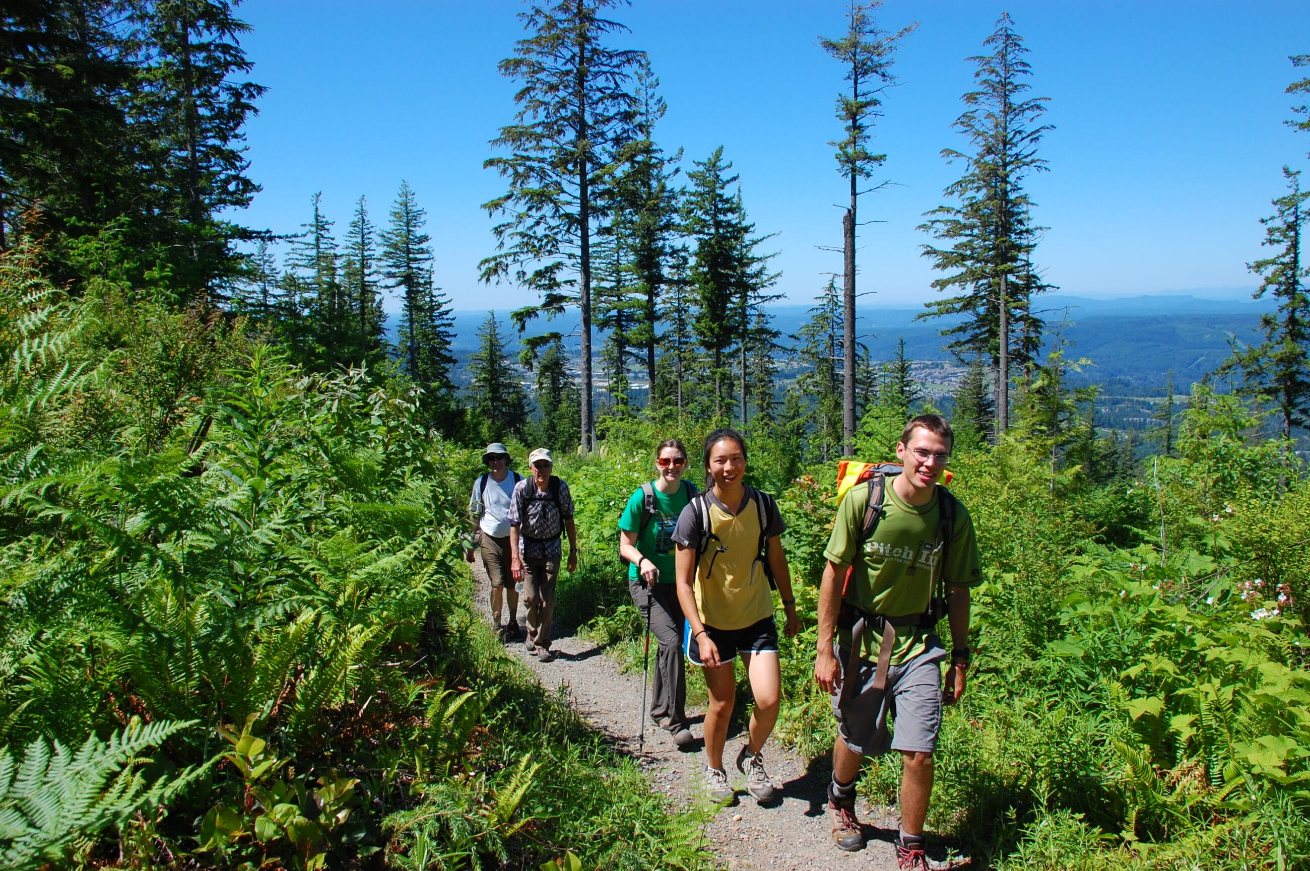
In 2004, the Greenway Trust and partners began extending the Rattlesnake Mountain Trail another 8.8 miles, up to the top of the ridge and down the north western slope of Rattlesnake Mountain to Exit 27 just off I-90 at Snoqualmie Point.
The completed Rattlesnake Mountain Trail is 10.2 miles long, with an elevation gain of about 2,460 feet and a high point at 3,460 feet.
Sweeping views from viewpoints include the front range of the Cascade Mountains to Mt. Baker in the north and views south to Mt. Rainier and the southern Cascades volcanoes.
Hikers can now get onto the new cross-Rattlesnake Mountain Trail at two locations:
- south of North Bend at Rattlesnake Lake (I-90 Exit 32)
- from the new trailhead at Snoqualmie Point, just of I-90 Exit 27. This I-90 trailhead accommodates 50 cars.
Partners and Funders
Public landowners of the ridgeline of Rattlesnake Mountain are:
The City of Seattle, King County, the State Department of Natural Resources and the US Forest Service.
Funds for public purchase of Rattlesnake Mountain land have come from the Washington State Legislature, King County Department of Natural Resources and Parks, King County Wastewater Treatment Division, Federal Forest Legacy Program and Federal Land and Water Conservation Fund.
The funds to add a complete Rattlesnake Mountain trail and trailheads on the edge of the Seattle metropolitan area came from the City of Seattle, The Washington State Department of Natural Resources, the state Interagency Committee for Outdoor Recreation, the National Recreational Trails Program, the State Legislature and the Mountains to Sound Greenway Trust.
Construction partners in the five-year project were Seattle Public Utilities & Cedar River Watershed staff, Washington State Department of Natural Resources, The Mountains to Sound Greenway Trust staff and volunteers, Washington Trails Association staff and volunteers, EarthCorps staff and volunteers.
The new Rattlesnake Mountain trailhead at Snoqualmie Point is owned by the US Forest Service. It was designed by the State Department of Natural Resources, built by the Greenway Trust and will be maintained by WADNR and the City of Snoqualmie Parks Department.


