New Ways to Explore Snoqualmie Valley Trail
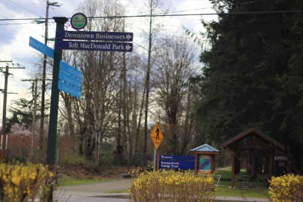
Five newly installed wayfinding signs are making it easier than ever to navigate the 31-mile Snoqualmie Valley Trail.
This popular biking, jogging, and horseback riding route sits on the historic path of a spur line of the Chicago, Milwaukee, St. Paul & Pacific Railroad and is King County’s longest regional trail. Starting in Duvall it winds its way up the Valley alongside the Snoqualmie River to Rattlesnake Lake. From there it connects to the John Wayne Pioneer Trail, another former railway line, continuing all the way to eastern Washington and beyond. The future vision is to connect the Snoqualmie Valley Trail from Duvall to Monroe and join the Centennial Trail there, connecting all the way up to Skagit County.
Running along the backbone of the Valley, the Snoqualmie Valley Trail runs along the edges of five communities: Duvall, Carnation, Fall City, Snoqualmie, and North Bend. But the path from the trail to town centers wasn’t always clear.
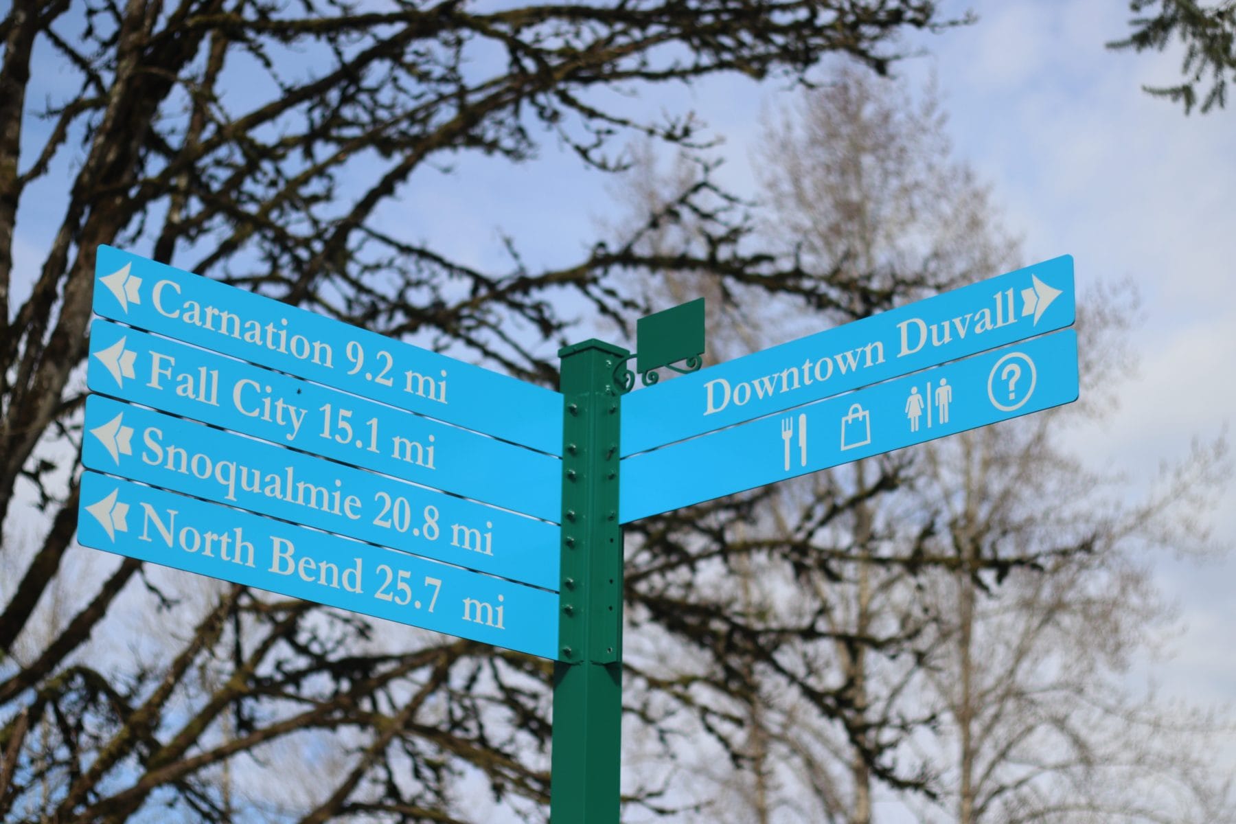
So, we helped install several new wayfinding signs, located at the entrances to each of these communities, to help users get their bearings and easily make side trips into the downtowns. The signs also show the direction and mileage to the neighboring towns. Designed using the same style as the other wayfinding signs throughout the Valley, they fit into a broad effort to make the Valley easy to visit, explore, and connect with.
 They say it takes a village to raise a child, and it certainly took a whole Valley to create these signs. The Greenway Trust coordinated a wide array of partners to make this happen, including King County Parks, City of North Bend, City of Snoqualmie, City of Carnation, City of Duvall, Fall City Metropolitan Parks District, and Port of Seattle. The coordinated effort also led to reduced costs and a more efficient schedule—compared to each city installing their own signs—including the benefit of only having one permit and one sign production order.
And there are more signs to come! This spring you’ll see additional wayfinding signs popping up along the Snoqualmie Valley Trail to help you get to other nearby destinations, including McCormick Park in Duvall, Meadowbrook Farm in Snoqualmie, and the Little Si Trailhead in North Bend.
How to Explore the Snoqualmie Valley Trail
The Snoqualmie Valley Trail is a great option for exploring in all seasons. Its downhill slope (south to north) and flat topography allows for easy navigation for all ages to enjoy. It’s a beautiful trail meandering through forest and farm fields. You can download a printed Snoqualmie Valley Trail map and can also find self-guided itineraries for day trips from Rattlesnake Lake to Snoqualmie and from Snoqualmie to Duvall from our partner organization Savor Snoqualmie Valley.


